Aerial filming, photography & surveys
Led by Justin Brown. Inspire 3 through heavy-lift ARRI/RED, plus LiDAR & topographical survey deliverables.
Registered with the CAA (Civil Aviation Authority) with an A2CofC Certification of Competence, and EASA Operators ID.
Yes, multiple teams are positioned nationwide for rapid mobilisation.
We carry full insurance and are CAA registered with A2CofC, plus EASA Operator ID.
We deliver both, with optional editing and colour in DaVinci Resolve.
LiDAR point clouds, orthomosaics, elevation models, 3D meshes and volumes.
End-to-end aerial production and measurement. Local teams positioned across the UK.
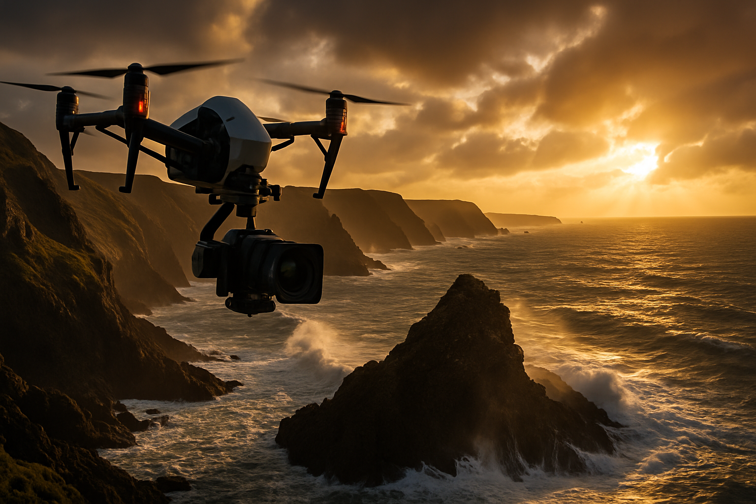
DJI Inspire 3 and heavy-lift platforms for ARRI and RED cinema cameras.
Multiple teams across the UK to cover your brief quickly and efficiently.

Premiere Pro, After Effects, and DaVinci Resolve post-production.
Long-form construction and environmental monitoring with secure capture.
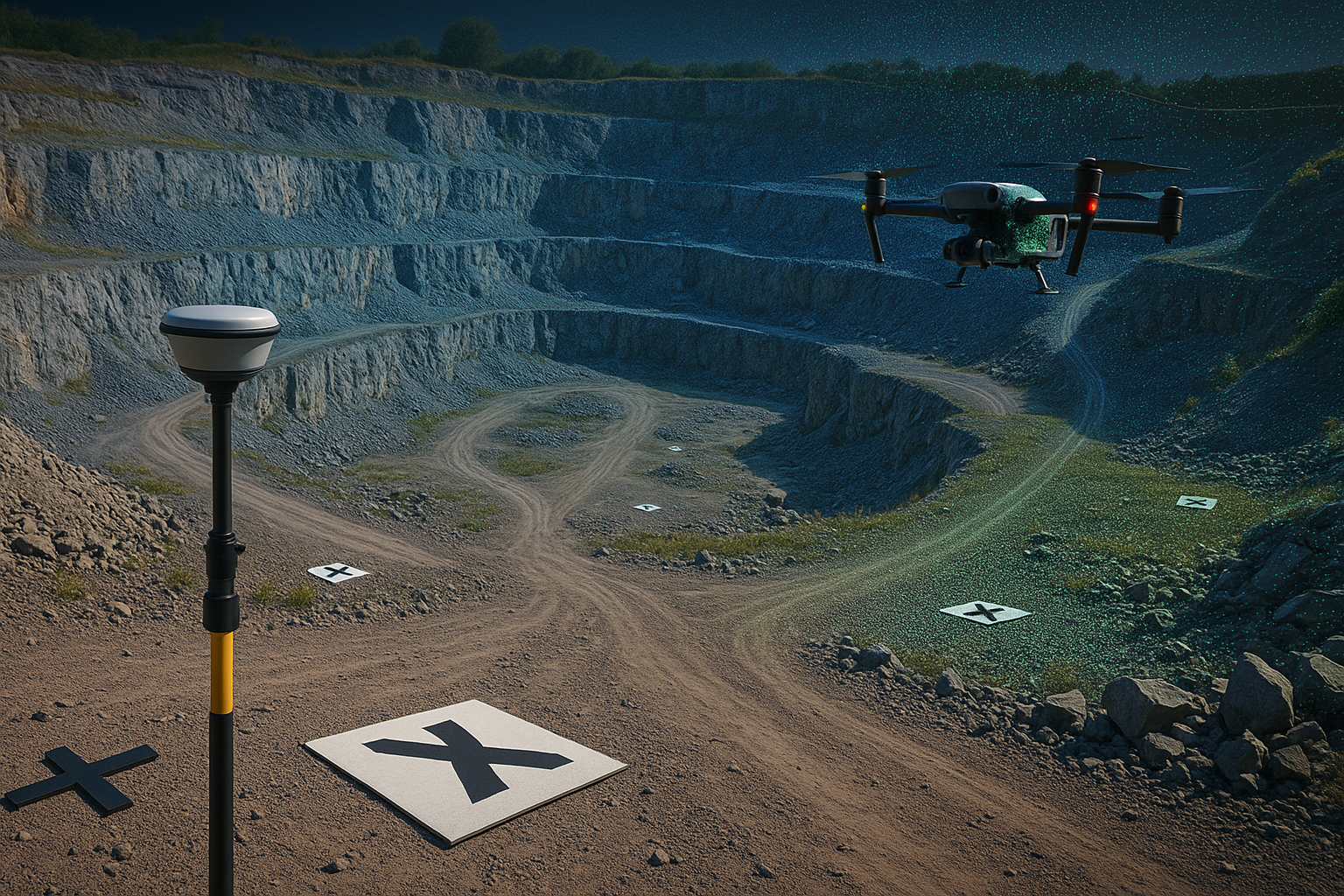
LiDAR, topographical, elevation, 3D models, volumetrics, and orthomosaics.
Timelapse capture for construction and environmental change — secure, reliable, beautiful.
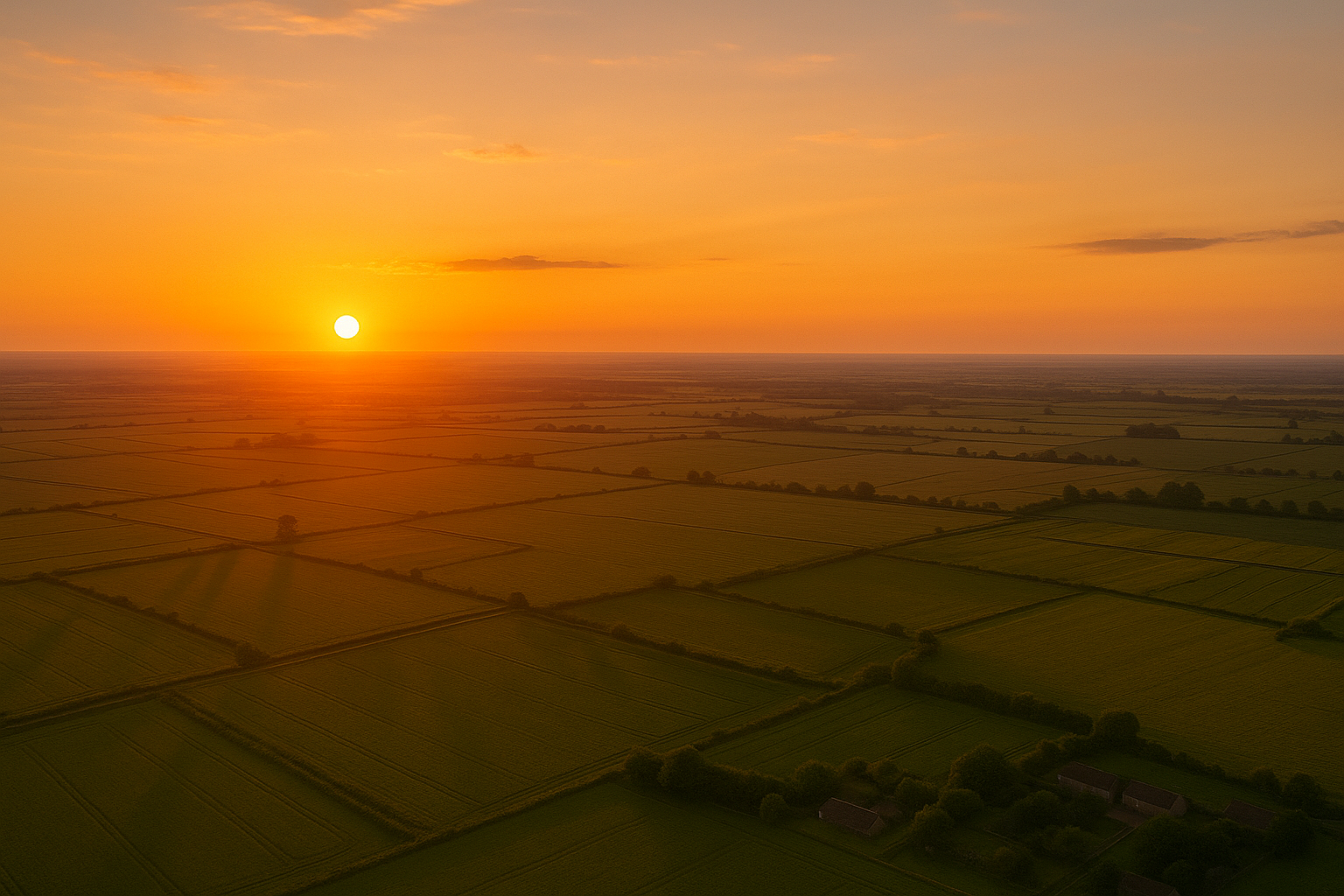
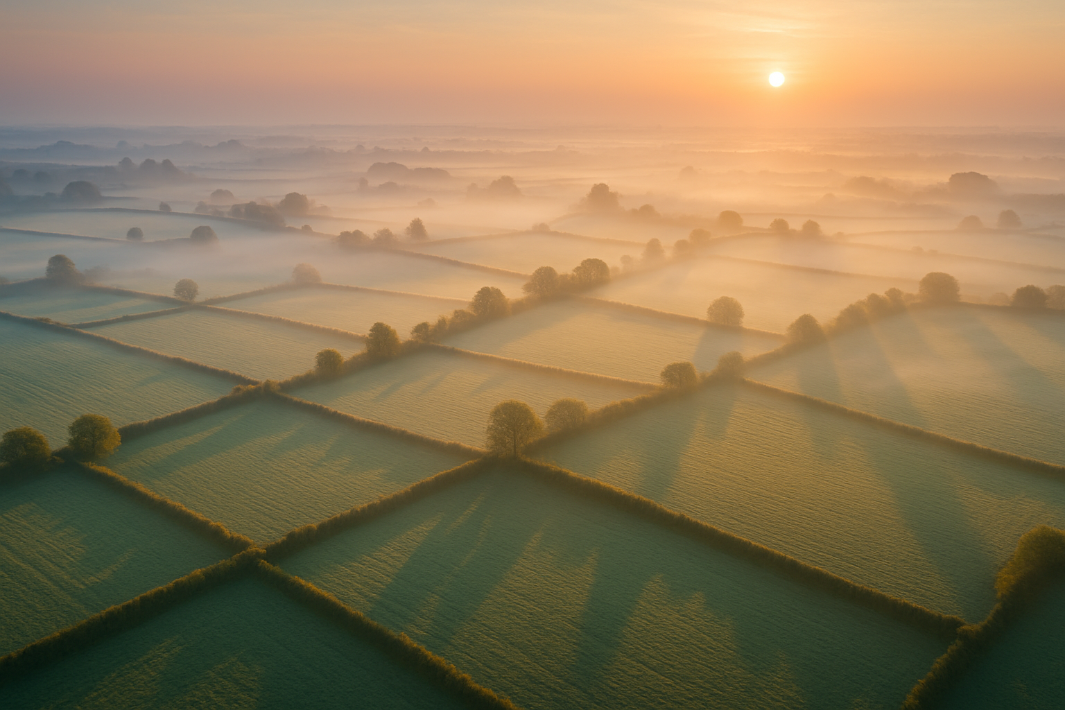
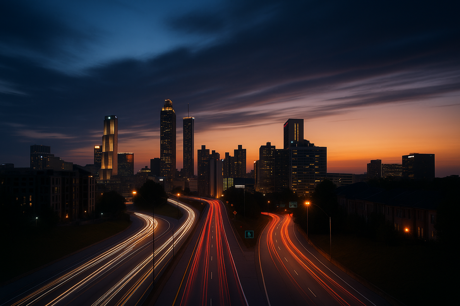
A selection of recent aerial captures. Tap to open.
High-accuracy data products from acquisition to delivery.
Tell us about your goals and location. We will match you with the closest team.
Follow our journey
We love sharing the view from above.